Understanding temporal changes in aquatic communities is essential to addressing the current crisis in freshwater biodiversity. In particular, understanding the patterns and drivers of spatial variation in local community dynamics (spatial modelling) is important to be able to extrapolate temporal trends from discrete locations into entire landscapes, which are more often the focus of management initiatives.
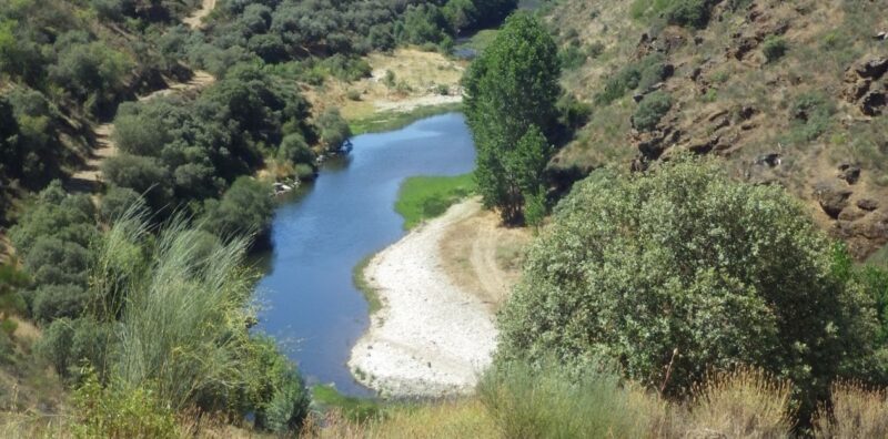
A study from 2012 to 2019 in the Sabor river in northeast Portugal focused on stream fish affected by hydropower development, using spatial modelling. Trajectory analysis was used to quantify the directionality and velocity of community change across 30 sites, and geometric modelling provided a simple framework to understand where and why temporal community dynamics vary across dendritic stream networks.
The results suggest that the local stream fish communities maintained a loose equilibrium across the watershed, but they fluctuated at a faster rate closer to the hydroelectric reservoir. This geostatistical method used was successful in producing clear visualisations of spatial patterns of community change over time in relation to anthropogenic impacts. For the full article, see here.